Login
Feedback
Search
Search
සිංහල
தமிழ்
Home
Public Notices
Tender
Vacancies
Expressions of Interest
Supplier Registration
Sitemap
Contact Us
Inquire
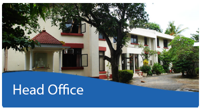
Head Office
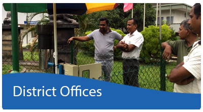
District Offices
Downloads
ConNECT
Home
Public Notices
Tender
Vacancies
Expressions of Interest
Supplier Registration
Sitemap
Contact Us
Inquire
Head Office
District Offices
Downloads
ConNECT
You are here:
Home
Divisions
Inner Pages
Architectural designs
Architectural designs
Architectural designs
This page still Under Construction
FaLang translation system by Faboba
Building Material Testing
Calibrations
Laboratory Testing
Research
Site Testing
Training Programs
Latest Events
SECOND COUNTERPART TRAINING IN JAPAN - Technical Training...
Read more
Training program on “Standards on Water Quality and...
Read more
Sustainable Timber Usage in Construction Industry by Industrial...
Read more
NBRO presents Kalutara district Landslide risk profiles to...
Read more
NBRO Professionals organised Monthly Technical Discussion on “Common...
Read more
Workshop on Research Proposal Writing
Read more
Geotechnical Services
Site Investigations
Laboratory Services
Consultancy Services
Make Inquire
Contact Details
Landslide Risk Management
Landslide Hazard Zonation Mapping
Construction Clearance
Make Inquire
Contact Details
District Offices
Settlements Planning
Geo-Spatial Services
Construction of Model Houses
Training & Awareness Programme
Agricultural Decision
Projects
Make Inquire
Contact Details
Gallery
Latest Events
SECOND COUNTERPART TRAINING IN JAPAN - Technical Training...
Read more
Training program on “Standards on Water Quality and...
Read more
Sustainable Timber Usage in Construction Industry by Industrial...
Read more
News
NBRO Celebrates Sinhala and Tamil New Year with...
Read more
The GeoAi Lab of NBRO Successfully Conducted a...
Read more
Landslide Awareness Workshops, targeting officers in Aranayake Divisional...
Read more
NBRO Scientists Elevate Expertise with Advanced Geospatial Training...
Read more
Implementation Review Mission Conducted for the Reduction of...
Read more
NBRO Staff Engage in Educational Study Tour on...
Read more
Other Links
State
Ministry of National Security And Disaster Management
Department of Meteorology
Disaster Management Centre
National Disaster Relief Services Centre
Get Connected :
Program Unit Services
Research Areas
View more
JICA Air Survey
View more


")


