


- About Us
- Services
- Divisions
 Building Materials Research & Testing Division (BMRTD)
 Environmental Studies & Services Division (ESSD)
 Geotechnical Engineering Division (GED)
 Human Settlements Planning and Training Division (HSPTD)
 Landslide Research & Risk Management Division (LRRMD)
 Structural Engineering Research & Project Management Division (SER&PMD)
 Admin & Finance
 General Division
- R&D
- News
- Gallery
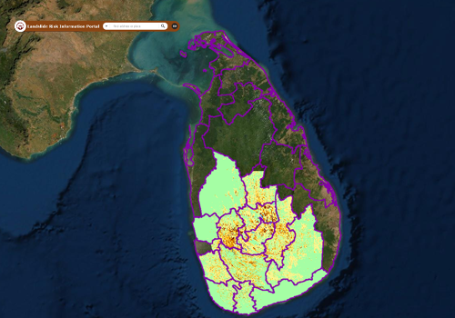
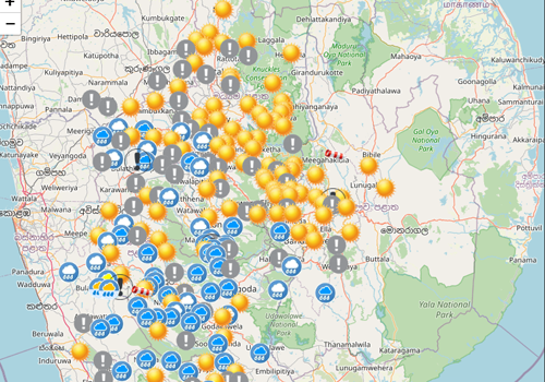
- Landslide Warnings
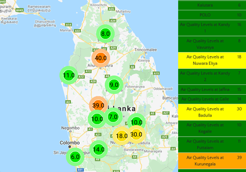
- Air Quality Today


Latest News / News Updates


Web Services
Public Services
Landslide Risk Assessment for Development
(Obtain risk assessment report for construction & development work)
Landslide Hazard Map of Your Area
(Download landslide hazard zonation maps)
Issuing Geotechnical Clearance for Assessing the Impacts on Adjacent Structures
(Issuing Geotechnical Clearance for Assessing the Impacts on Adjacent Structures)
Testing & quality control of building materials
(Testing & quality control of building materials)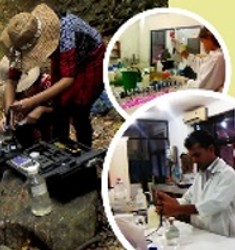
Testing of water, waste water, air quality noise & vibration
(Testing of water, waste water, air quality noise & vibration)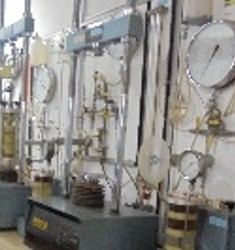
Testing of geo-technical investigations
(Testing of geo-technical investigations)
Major Projects & Programs
Landslide Risk Mitigation Program (RLVMMP)
(Reduction of landslide vulnerability by mitigation measures - RLVMMP)
International Technical Cooperation Program
(Technical cooperation between NBRO & international agencies)
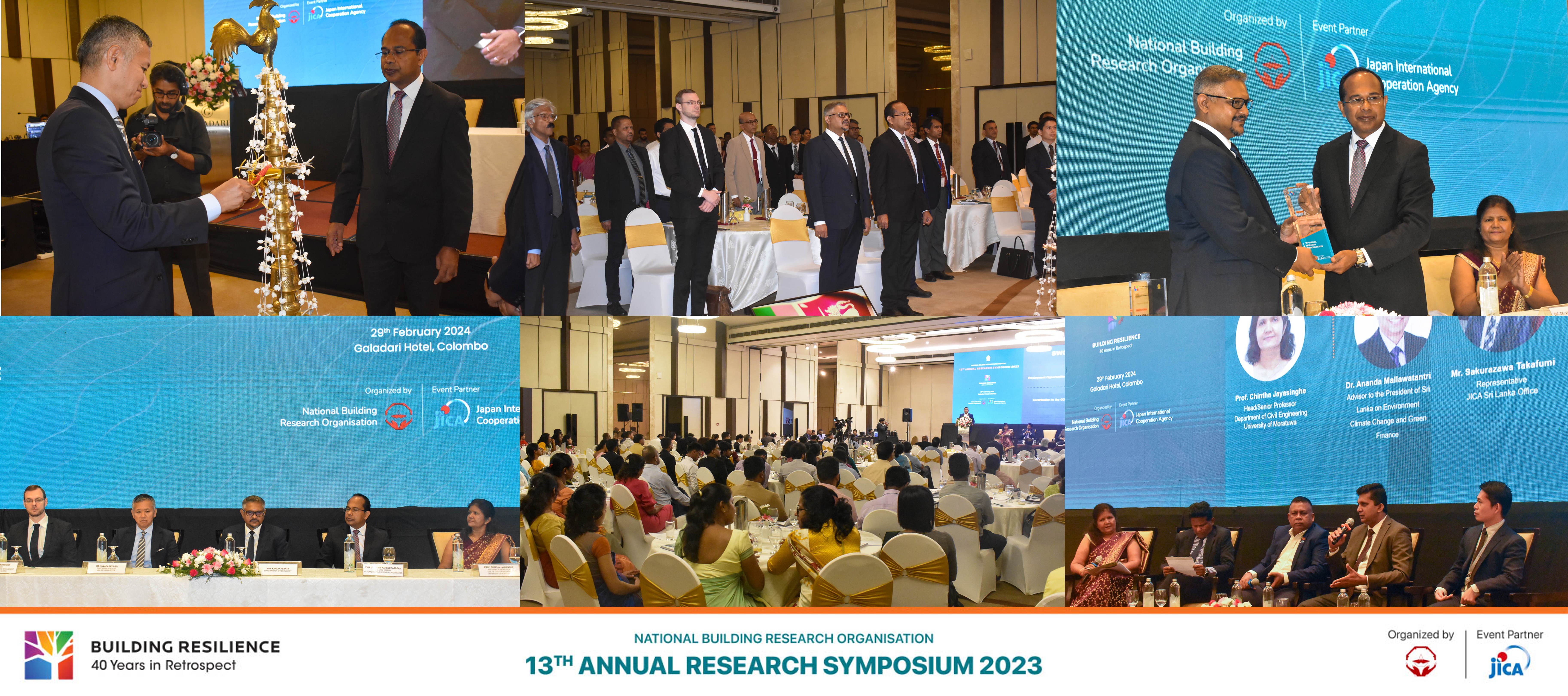
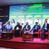
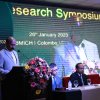
13th Annual Research Symposium 2023
(Technical cooperation between NBRO & international agencies)
Research & Development Program
(R & D updates & highlights)
Public Investment Program (PIP)
(Ongoing development projects and research executed by the Treasury funds)
SATREPS Sri Lanka Project
(SL/Japan joint project on development of early warning technology of rain induced rapid & long travel landslides)
MOBILISE Project
(Mobilise Project)
Training & Awareness Program
(Training & awareness on disaster management and resilient construction technology)
Downloads

Symposium Proceedings
NBRO Symposium publications with full text can be downloaded

Technical Guidlines
Access for Technical Guidance documents on Disaster Resilient Development

NBRO Annual Reports
Annual Report/Financial Performance Reports of NBRO

NBRO Newsletters
Quarterly Newsletter highlighting NBRO activities

Research Publications
Full Text Publications of Research and technical Papers

Special Project Reports
Technical Documents on Special Studies and projects

Tender Documents/ EOI & Vacancies
Procurement, Vacancies and EOI

Download Application Forms
Download all application forms for NBRO services
Latest Events


Upcoming Events
Media Release
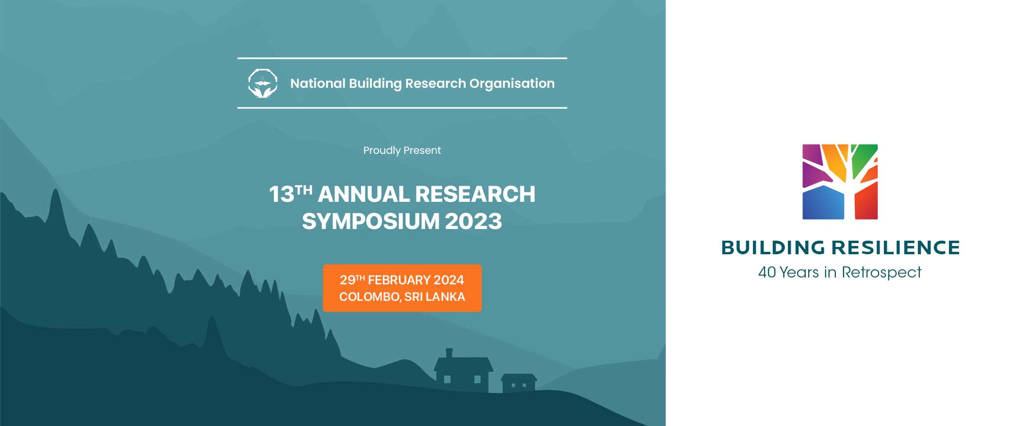

Photo Story
Latest News
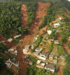
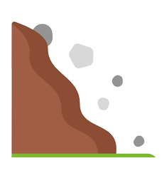
දක්ෂිණ අධිවේගී මාර්ගයේ කි.මී. 101.3 – 101.5 අතර කොටසෙහි මාර්ගය අසල තිබූ කන්දෙහි කොටසක් නායයයි...
දක්ෂිණ අධිවේගී මාර්ගයේ පින්නදූව සහ ඉමදුව අතර කොටසේ (කි.මී. 101.3 – 101.5 අතර කොටසෙහි) මාර්ගය අසල තිබූ කන්දෙහි මීටර් 70 පමණ උස සහ මීටර් 50 පමණ පලල කොටසක් 2023.10.11 වන දින රාත්රී 8.20 පමණ නාය ගොස් තිබේ. නායයෑමෙන් අධිවේගී මාර්ගයේ මන්තීරු හතරෙහිම මීටර් 60 පමණ ප්රදේශයක් පස් මඟින් අවරණය වී තිබේ.
නාය ස්ථානය ජාතික ගොඩනැගිලි පර්යේෂණ සංවිධානය මඟින් එදිනම (2023.10.11) රාත්රියේදී සහ අද දින (2023.10.12) පරීක්ෂාවට ලක් කරන ලද අතර අවදානම් තත්ත්වය ඉවත්කර ආරක්ෂාව තහවුරු කිරීමට අවශ්ය උපදෙස් අදාල අංශ වෙත ලබාදී ඇත.


අකුරැස්ස දියලපේ තැන්නපිටහේන කන්ද නායයයි... ප්රදේශ වාසීන්ගේ සැලකිලිමත් භාවය මඟින් අවදානම කලින් හඳුනාගත් නිසා ජීවිත රැසක් ආරක්ෂා වේ...
පැවති අධික වර්ෂාපතනය හේතුකොටගෙන මාතර දිස්ත්රික්කයේ අකුරැස්ස ප්රාදේශීය ලේකම් කොට්ඨාසයට අයත් දියලපේ ග්රාම නිලධාරි වසමේ තැන්නපිටහේන කන්ද 2023 ඔක්තෝබර් මස 02 වන දින නායයෑම් ලක්ෂණ පෙන්නුම් කොට තිබේ. ප්රදේශවාසීන් නායයාම් ලක්ෂණ හදුනාගනිමින් එම ස්ථානය පිළිබඳව දැනුවත් කිරීමෙන් පසු අදාල ස්ථානය අධීක්ෂණය කළ ජාතික ගොඩනැගිලි පර්යේෂණ සංවිධානයේ සහ ප්රදේශයේ රාජ්ය ආයතනවල නිලධාරීන් අධි අවදානම් පවුල් 06 ක් ස්ථිරවත් මධ්ය අවදානම් පවුල් 03 ක් තාවකාලිකවත් ඉවත් කිරීම සඳහා උපදෙස් ලබා දුනි. 2023 ඔක්තෝබර් මස 05 වන දින සවස 4.45 ට පමණ එම ස්ථානය පූර්ණ නායයෑමකට ලක්වූ අතර පෙර හඳුනාගත් අවදානම් පවුල් ඉවත් කිරීම නිසා සිදුවීමට තිබූ ඉමහත් විනාශයක් වළක්වා ගැනීමට ප්රදේශ වාසීන්ට, අකුරැස්ස ප්රාදේශීය ලේකම් කාර්යාලයට සහ ජාතික ගොඩනැගිලි පර්යේෂණ සංවිධානයට හැකිවිය.
විශේෂ ස්තුතිය : නායයාම් ලක්ෂණ හදුනා ගනිමින් කඩිනමින් ඒ පිළිබඳව දැනවත් කල ප්රදේශ වාසී ජනතාවට සහ ජාතික ගොඩනැගිලි පර්යේෂණ සංවිධානය ඇතුළු ප්රදේශයේ රාජ්ය ආයතනවල නිලධාරීන් සියලු දෙනා වෙත.


නායයෑම් හා ආපදා අවදානම් ජනාවාස වල ඔරොත්තු දීමේ හැකියාව ගොඩනැඟීම පිළිබඳව දැනුවත් කිරීමේ වැඩසටහන
නායයෑම් හා ආපදා අවදානම් ජනාවාස වල ඔරොත්තු දීමේ හැකියාව ගොඩනැඟීම පිළිබඳව දැනුවත් කිරීමේ වැඩසටහන
කෑගල්ල දිස්ත්රික්කයේ ආපදා අවදානම් කළමනාකරණය හා සම්බන්ධ කටයුතුවල යෙදී සිටින ආයතන වල නිලධාරීන් ගේ සහභාගිත්වයෙන්, ජනතාක්ෂණ් (Janathakshan GTE Ltd) ආයතනයේ මූල්ය දායකත්වයෙන්, ජාතික ගොඩනැගිලි පර්යේෂණ සංවිධානය සහ කෑගල්ල දිස්ත්රික් ආපදා කළමනාකරණ ඒකකය මගින්, මෝසම් වර්ෂාව ට පෙර සූදානම් වීමේ වැඩසටහනක් ලෙස සංවිධානය කළ මෙම වැඩසටහන කෑගල්ල දිස්ත්රික් ලේකම්තුමන්ගේ ප්රධානත්වයෙන් 2023 සැප්තැම්බර් මස 26 වන දින පැවැත්විණි.


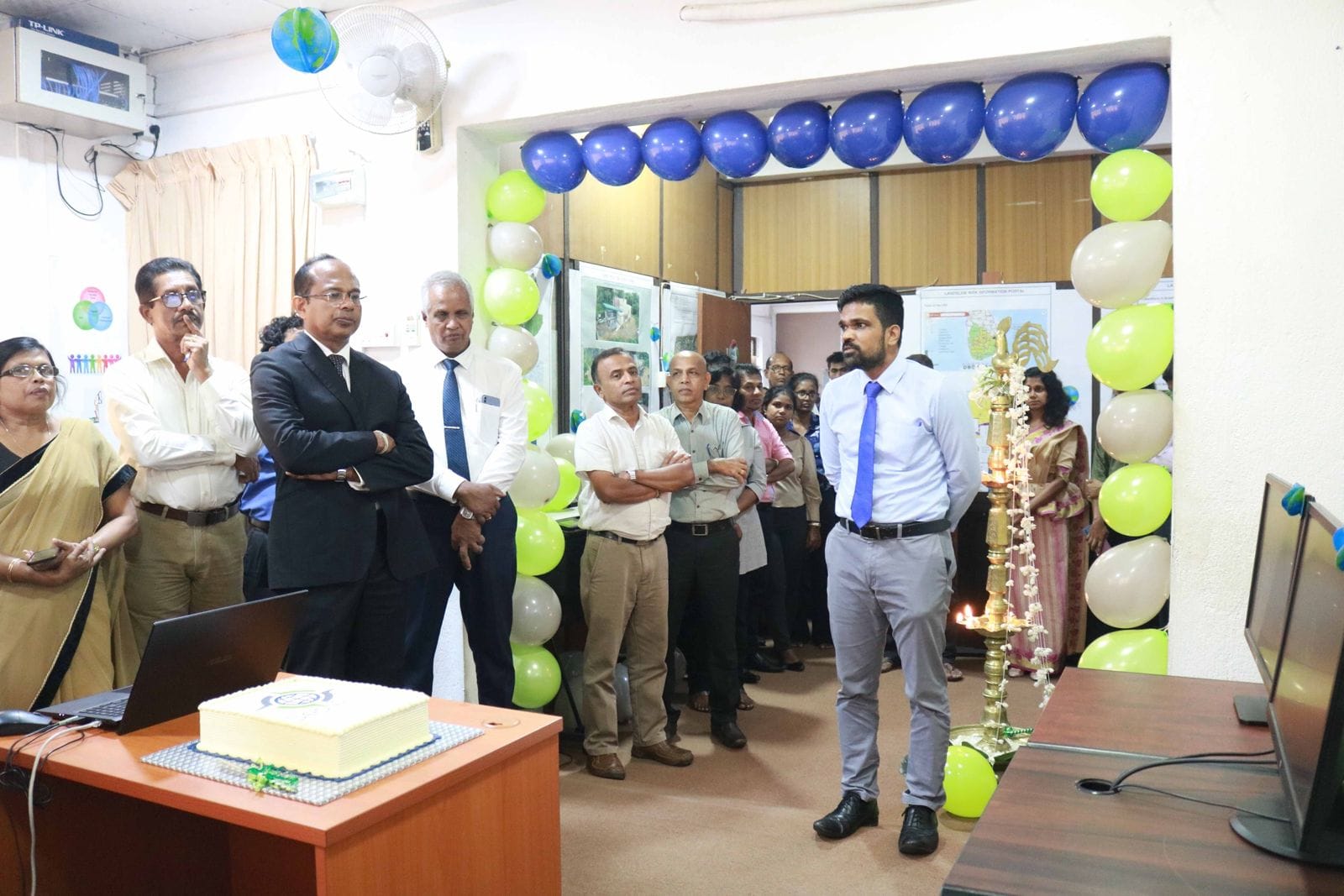
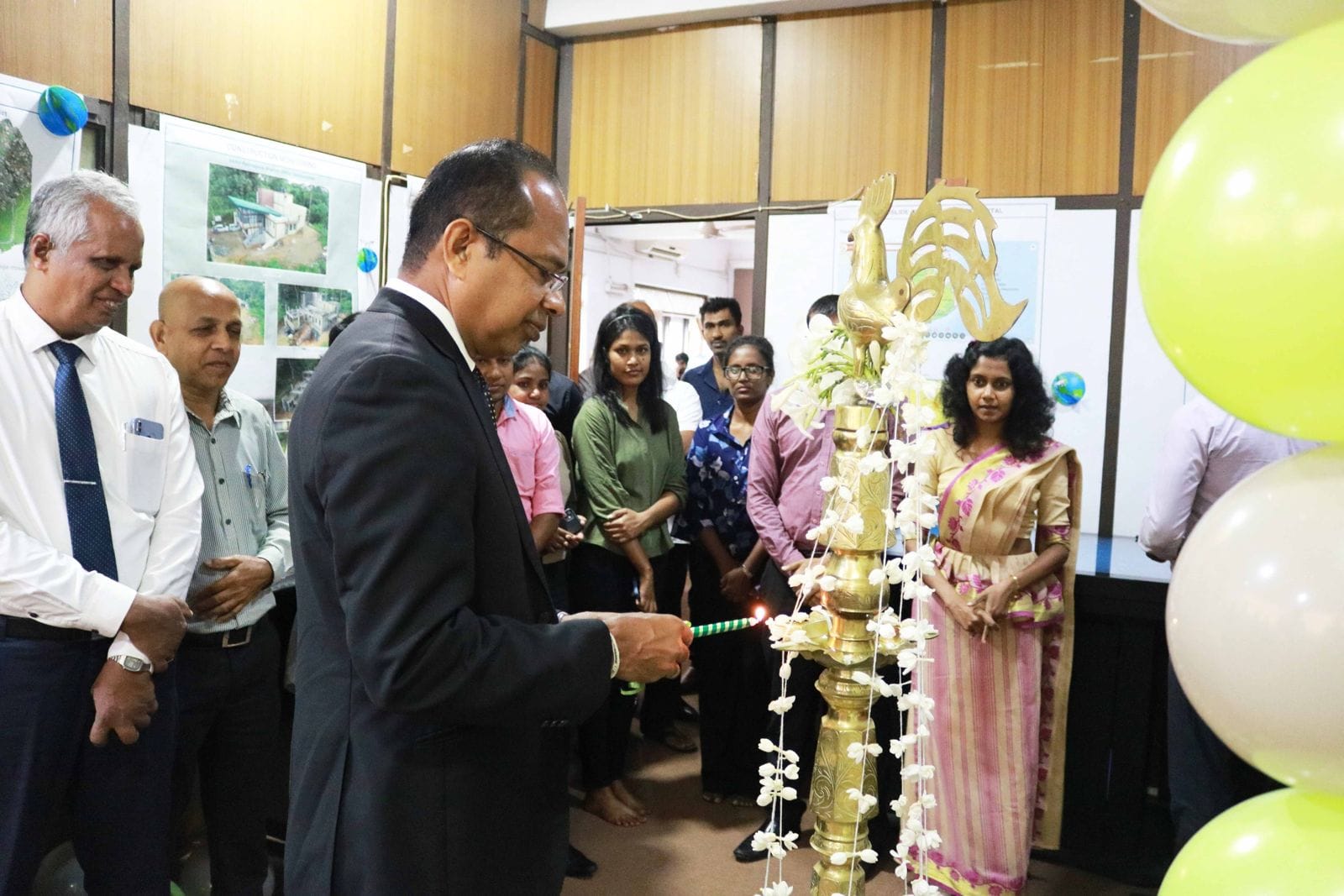
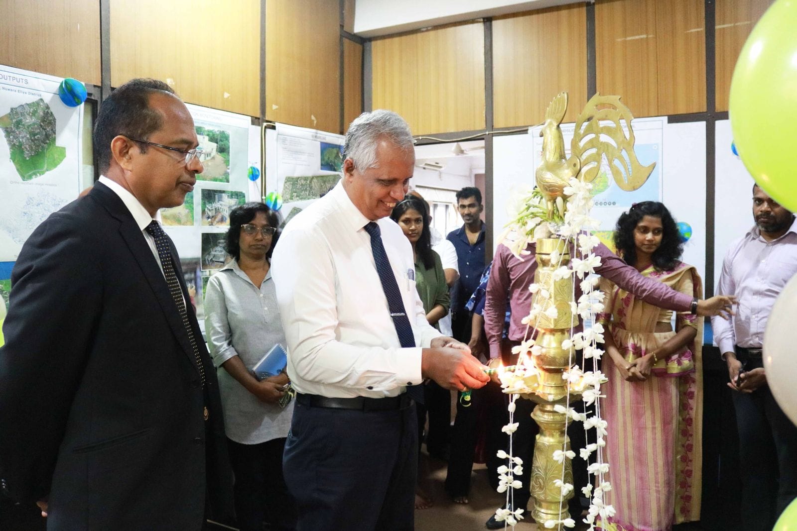
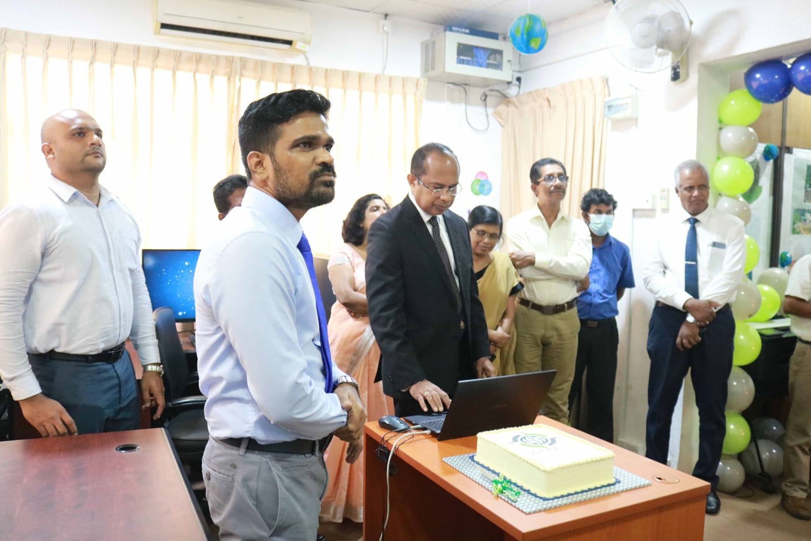
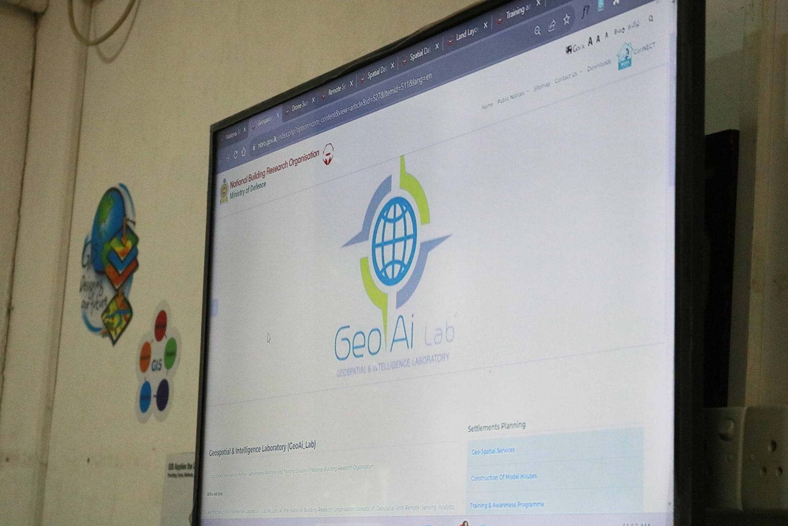
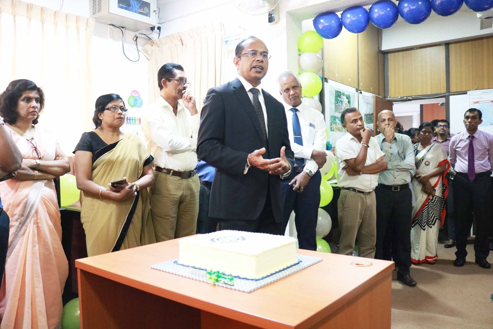
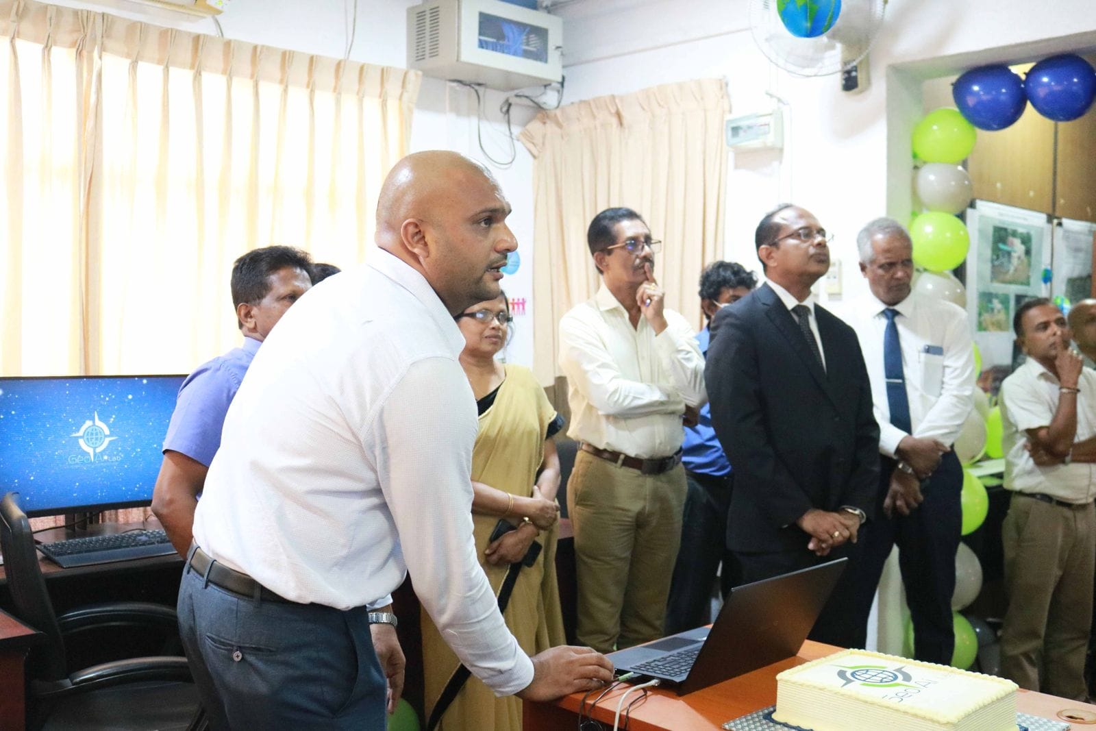
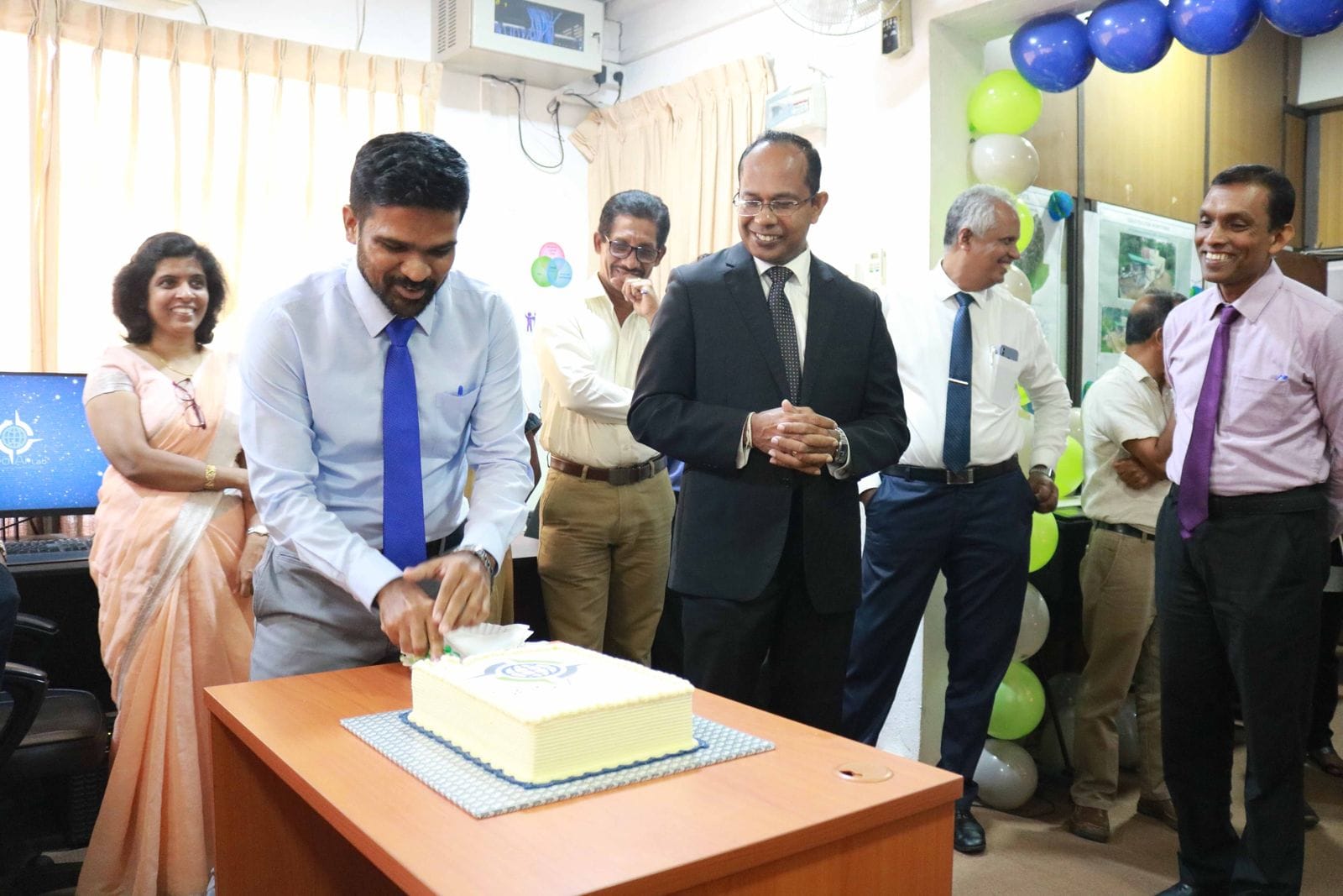
Geospatial & Intelligence Laboratory (GeoAi_Lab)
NBRO commenced the operations of its newly established Geospatial & Intelligence Laboratory (GeoAi_Lab) operates by Human Settlements Planning and Training Division of National Building Research Organisation
Who we are:
Geoinformatics & Intelligence Laboratory (GEOAi_Lab) at the National Building Research Organisation consists of Geospatial and Remote Sensing Analysts, Cartographers and Visualization Expert, IT & Database Administrators and Software Developers/Programmers trained in geomatics, geography, statistics, and urban informatics.
Our Services:
⚡️Drone Surveys - Drone based Geospatial data acquisition, processing, and analysis
⚡️Remote Sensing - Remote sensing and satellite image analysis
⚡️Spatial Databases - Spatial database and field survey app development based on Esri platform.
⚡️Spatial Data Visualization - Spatial data visualization and reporting
⚡️Layout Planning and Land Sub-division - Land layout planning for land subdivision towards resilient settlement development
⚡️Training -Training and capacity building in geospatial intelligence
For more details: https://nbro.gov.lk/index.php?option=com_content...
👨💼Contact Us
Chathuranga Kumarasiri - Laboratory Manager
Tel : +94 11 2588 946 Ext: 559
Email : This email address is being protected from spambots. You need JavaScript enabled to view it.