


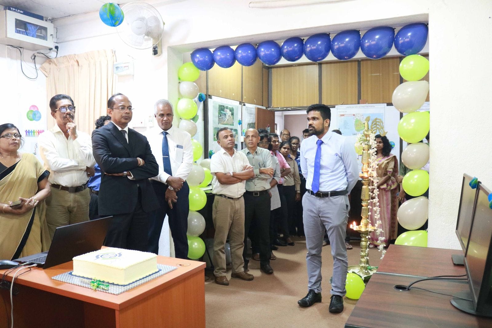
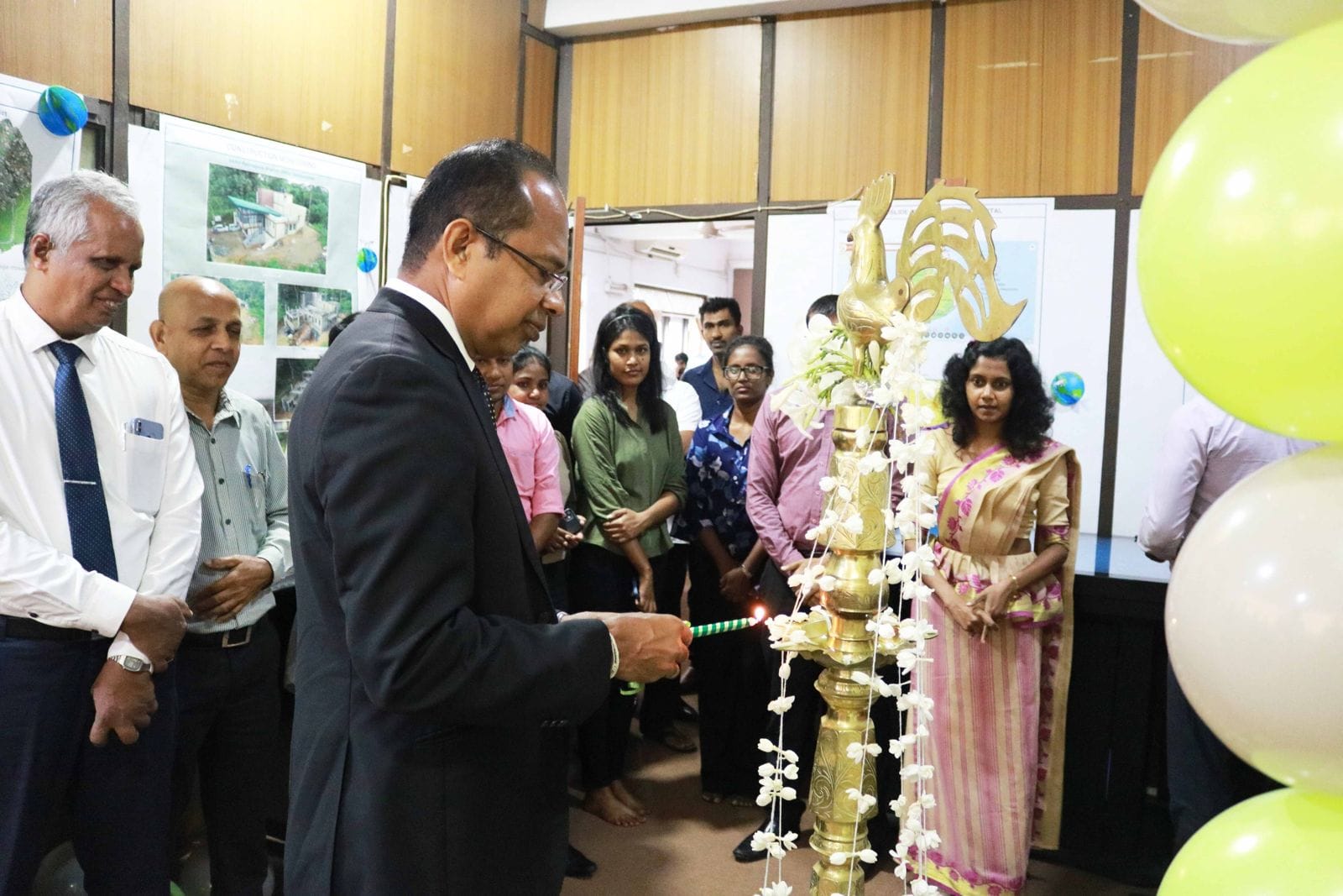
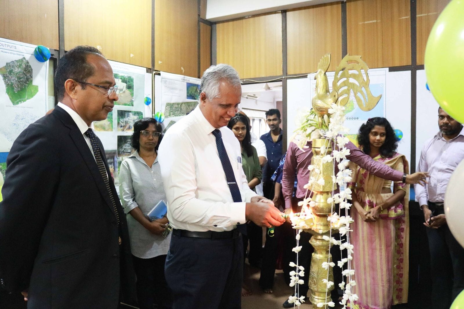
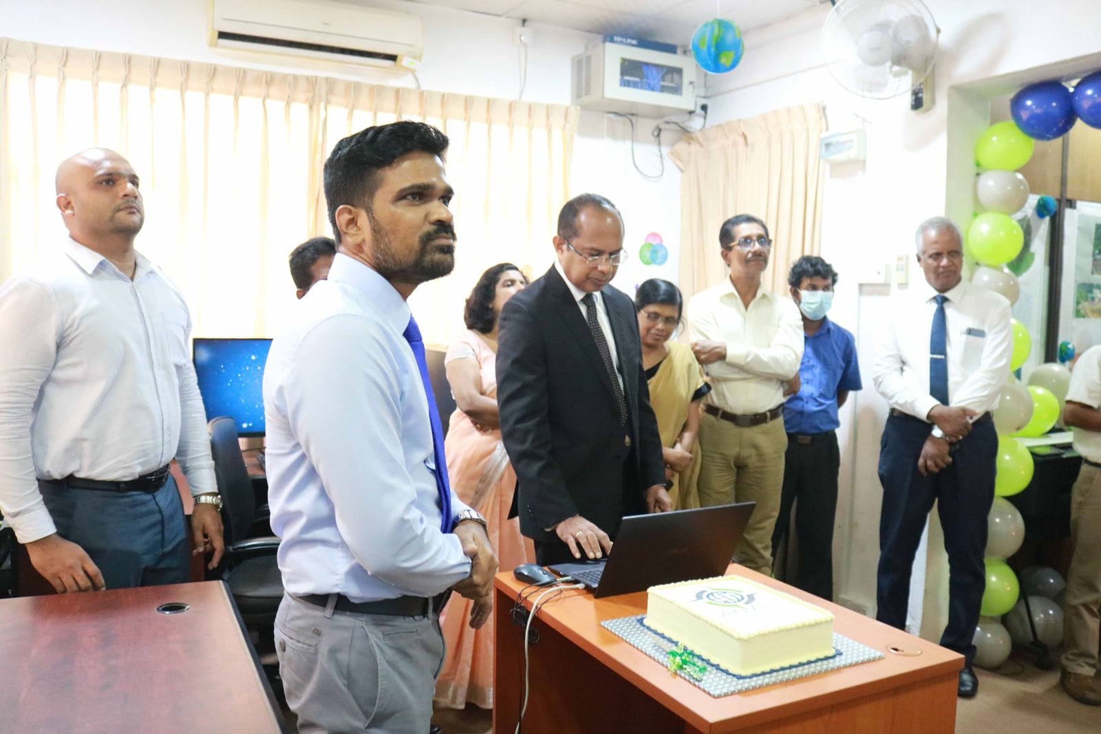
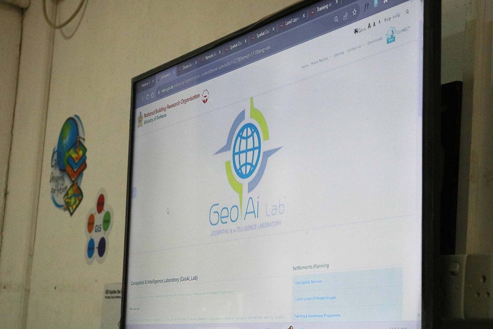
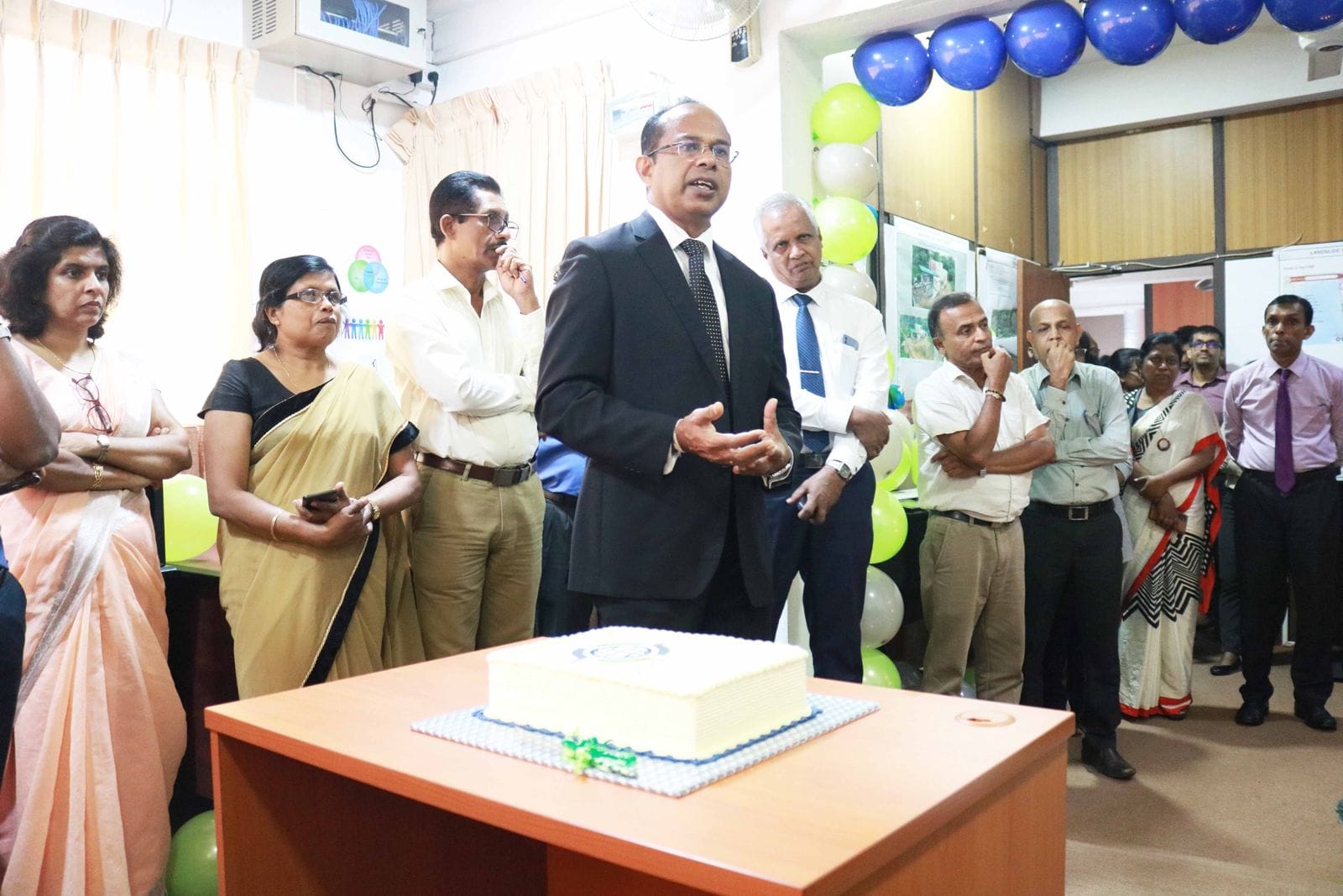
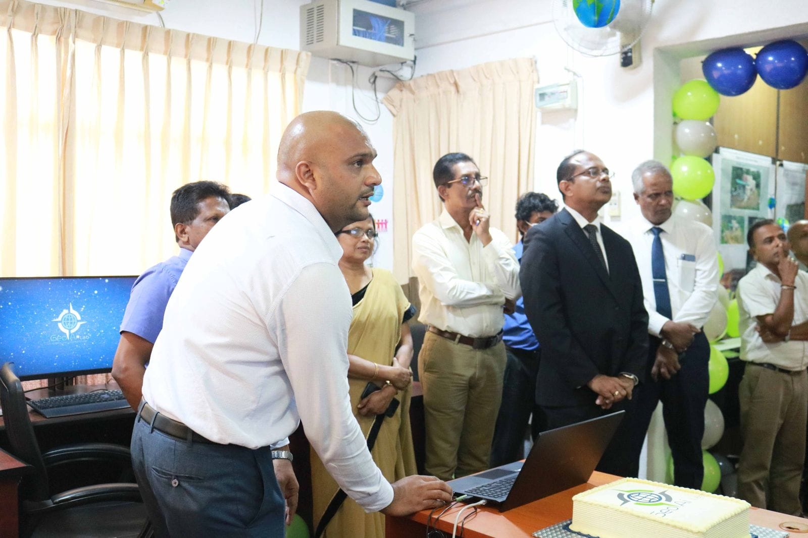
NBRO commenced the operations of its newly established Geospatial & Intelligence Laboratory (GeoAi_Lab) operates by Human Settlements Planning and Training Division of National Building Research Organisation
Who we are:
Geoinformatics & Intelligence Laboratory (GEOAi_Lab) at the National Building Research Organisation consists of Geospatial and Remote Sensing Analysts, Cartographers and Visualization Expert, IT & Database Administrators and Software Developers/Programmers trained in geomatics, geography, statistics, and urban informatics.
Our Services:
⚡️Drone Surveys - Drone based Geospatial data acquisition, processing, and analysis
⚡️Remote Sensing - Remote sensing and satellite image analysis
⚡️Spatial Databases - Spatial database and field survey app development based on Esri platform.
⚡️Spatial Data Visualization - Spatial data visualization and reporting
⚡️Layout Planning and Land Sub-division - Land layout planning for land subdivision towards resilient settlement development
⚡️Training -Training and capacity building in geospatial intelligence
For more details: https://nbro.gov.lk/index.php?option=com_content...
👨💼Contact Us
Chathuranga Kumarasiri - Laboratory Manager
Tel : +94 11 2588 946 Ext: 559
Email : This email address is being protected from spambots. You need JavaScript enabled to view it.


")